Local SEO & Google Business Profile
Photos uploaded to your Business Profile carry more weight when they include accurate GPS. Google uses EXIF location to verify that storefront photos really were taken at your address.
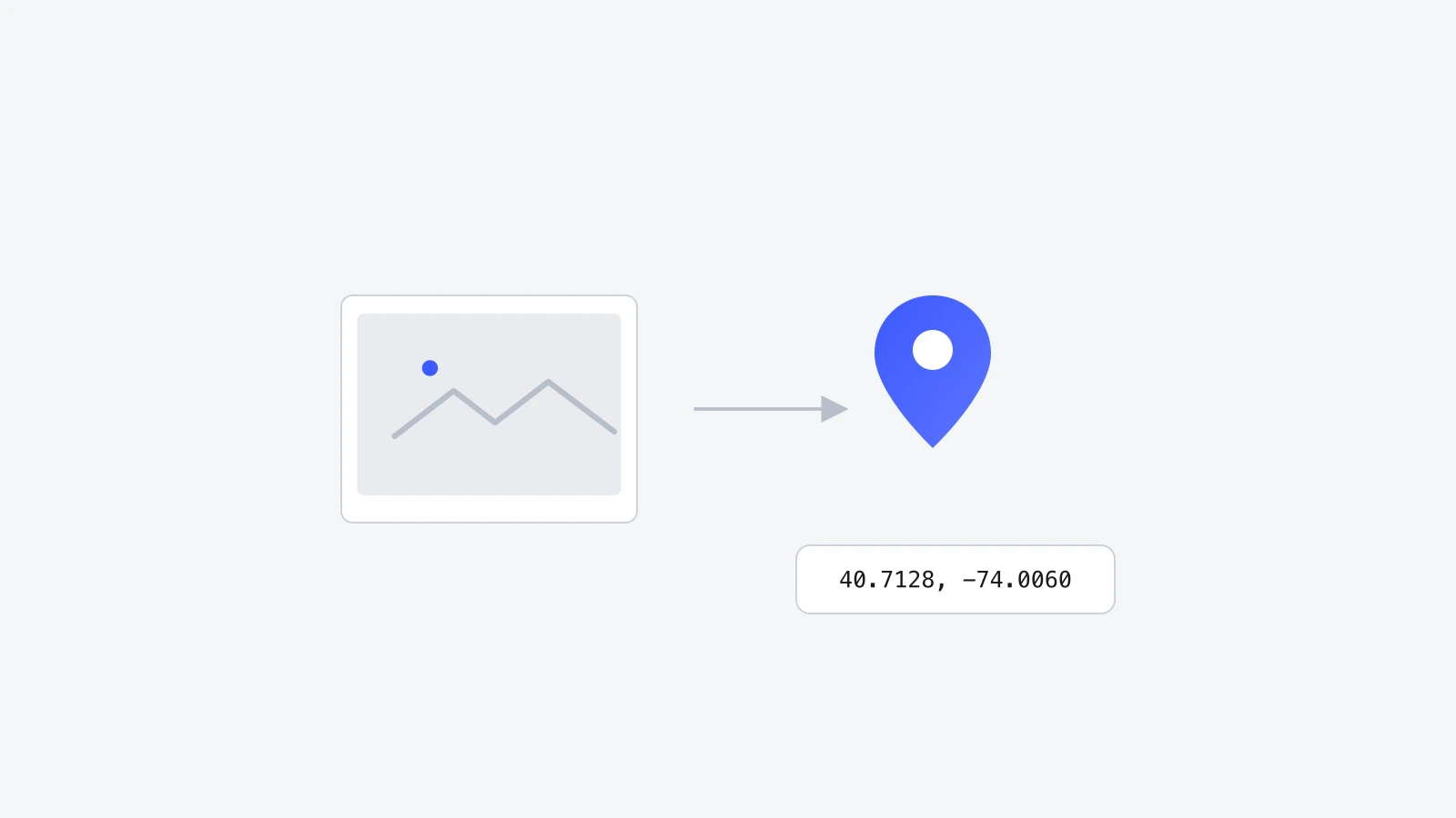
Drop a photo, pin the exact spot on a map, and download the file with GPS coordinates written into its EXIF data. That's the whole job of a geo tag photo online tool: no signup, no uploads, no watermark. Works with JPG, HEIC, PNG, and WebP.
JPG, HEIC, PNG or WebP. Drag a file or click to browse. Up to 50 MB each.
Press U anywhere to upload
JPG, HEIC, PNG or WebP. Drag a file or click to browse. Up to 50 MB each.
Press U anywhere to upload
Add a photo to start tagging
Drop one above and its location, keywords, and description will live here.
Geotagging, explained
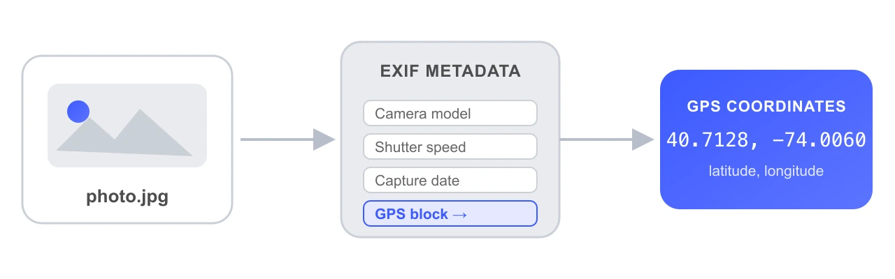
Geotagging means writing GPS coordinates, latitude and longitude, into a photo's EXIF metadata, the same hidden data block that already stores your camera model, shutter speed, and capture date. Once that GPS data is inside the file, any app that reads EXIF (Photos, Lightroom, Google Maps timeline, a CMS, a search engine) knows exactly where the photo was taken.
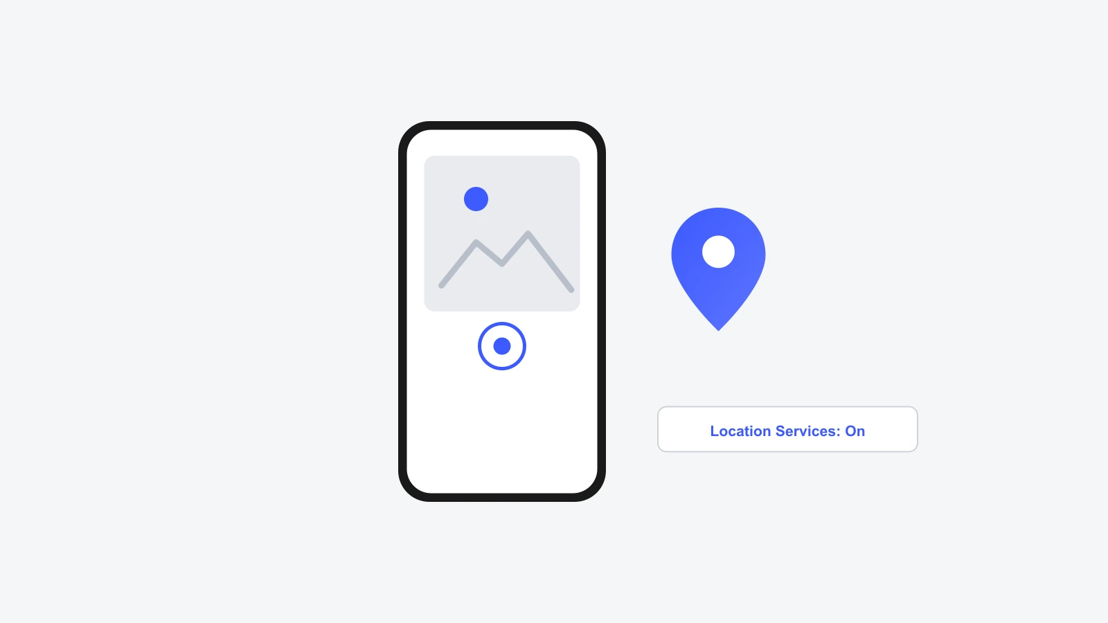
GPS support has been part of the EXIF standard, maintained by the Camera & Imaging Products Association (CIPA), since the early 2000s. That's why nearly every digital camera and smartphone made in the last two decades is capable of writing this data. The catch is that it only gets written automatically if the device has location access turned on at the moment you take the photo.
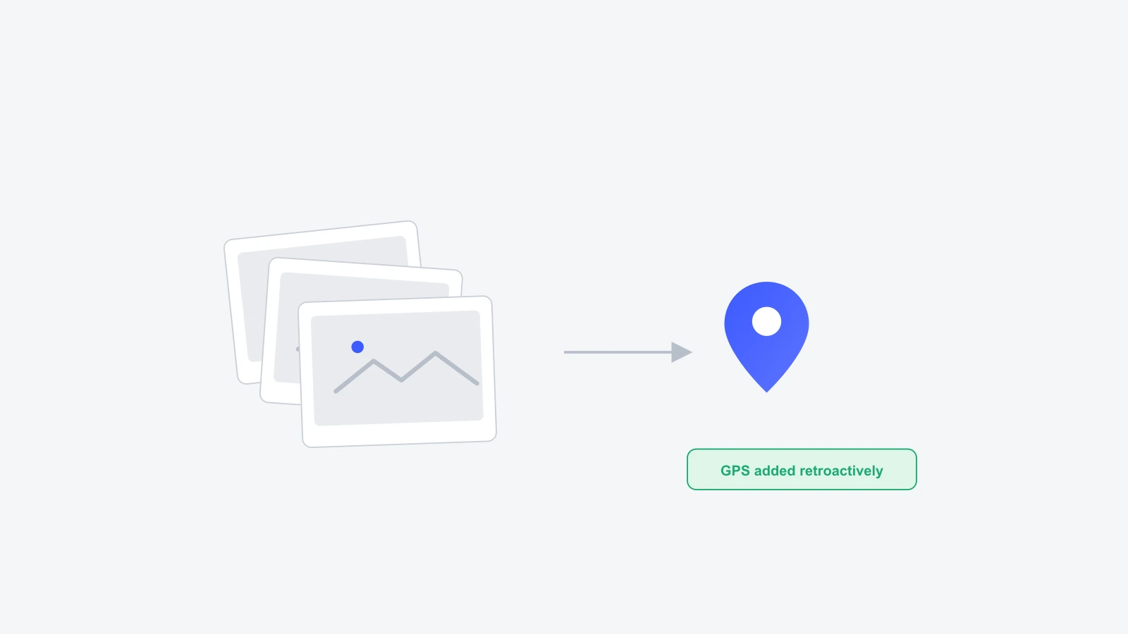
A lot of photos lose that GPS data along the way. Messaging apps and social platforms routinely strip EXIF metadata, including location, before serving the file back to you, for privacy reasons. Screenshots, scanned prints, and photos from cameras without GPS (most mirrorless and DSLR bodies) never had it in the first place. Geotagging a photo online after the fact is simply writing that missing GPS block back in, using a location you pick yourself.
A geotag is not one single value. It's a small cluster of fields inside the EXIF GPS IFD (Image File Directory). Here's what's typically in there:
Coordinates can be written in two formats: decimal degrees (DD), like 40.7128, -74.0060, or degrees-minutes-seconds (DMS), like 40°42'46"N 74°00'21"W. GeoTag Photos Online accepts and converts both, so it doesn't matter which one you have on hand.
How it works
GeoTag Photos Online embeds GPS coordinates directly into your image's EXIF metadata using piexifjs, all client-side. Nothing ever touches a server.
JPG, HEIC, PNG or WebP: drag a single file or a batch. Everything is decoded on your own device.
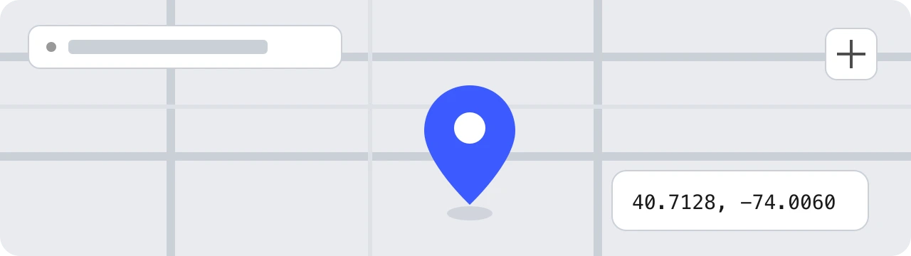
Click the map, search a city, or use your current location. Coordinates update instantly in both DD and DMS.
Press Tag All to embed GPS, keywords, a description, and copyright. Download as JPEG or WebP, one file or the whole batch.
Geotag generator vs. traditional software
Most geotagging software falls into two camps: a desktop app you have to install, or a web tool that asks you to upload your photo to someone else's server first. GeoTag Photos Online is neither. It's a geotag generator that runs as a static web app, so your image never leaves your device.
| Feature | GeoTag Photos Online | Typical geotagging software |
|---|---|---|
| Cost | Free, no tiers | Often paid or limited free tier |
| Signup required | No | Usually yes |
| Where your photo goes | Stays on your device | Uploaded to a server |
| Installation | None, runs in the browser | Desktop app or plugin |
| Batch geotagging | Yes | Sometimes, often paywalled |
| HEIC / iPhone photos | Yes | Rarely supported |
| Works on mobile browser | Yes | Rarely |
In short: if a geotagging tool asks you to sign up or wait for an upload bar, your photo is going to a server somewhere. GeoTag Photos Online skips that step entirely: the geotag is written by your own browser, which is also why it stays free with no usage limits.
Try the free geotag generatorFormats
You can drop a JPG, HEIC, PNG, or WebP file and GeoTag Photos Online will read whatever EXIF data it already has. What comes out the other end is always a geotagged JPEG, because JPEG is the one format every phone, computer, and website reliably reads GPS data from.
| Format | Read EXIF | Write EXIF | Notes |
|---|---|---|---|
| JPG / JPEG | Yes | Yes | Recommended. Native EXIF support, written directly with piexifjs. |
| HEIC / HEIF | Yes | Convert to JPG | Converted to JPG in-browser via heic2any before tagging. |
| PNG | Yes | Convert to JPG | PNG has no standard EXIF chunk, so it's exported as JPG for reliability. |
| WebP | Yes | Convert to JPG | WebP EXIF support is inconsistent, so it's exported as JPG. |
Quick summary: JPG keeps its geotag natively. HEIC, PNG, and WebP get converted to JPG on export so the GPS data actually survives when the file is opened elsewhere. That conversion happens automatically and locally, with no quality loss you'd notice.
Use cases
Most smartphones already geotag photos automatically when location services are on. The photos that need this tool are the other kind: images pulled from a camera without GPS, screenshots, old scans, or anything that's passed through a messaging app or social platform that stripped the metadata on the way through. Here's where adding it back in actually matters.

Photos uploaded to your Business Profile carry more weight when they include accurate GPS. Google uses EXIF location to verify that storefront photos really were taken at your address.
Once your photos have coordinates, Apple Photos, Lightroom, and Google Photos can group them on a map automatically, turning a flat folder into a travel timeline you can actually navigate.
Pre-tagged listing photos let MLS systems and portals show properties accurately on satellite maps, and they make virtual-tour platforms easier to set up.
Cameras without GPS (most mirrorless bodies) leave you with location-less RAWs. Tag them after a shoot using a phone screenshot or the map, then everything sorts itself.
For reporters and investigators, embedded coordinates and timestamps add a verifiable layer of provenance to source photos, which is useful for fact-checking and OSINT workflows.
Quick summary: geotags help Google Business Profile verify storefront photos, let Lightroom and Google Photos sort images on a map, help MLS listings show properties accurately, and give journalists a verifiable location record. If any of that applies to your photos, geotagging is worth the ten seconds it takes.
Why GeoTag Photos Online
Built for travel photographers, journalists, real-estate agents, and anyone who needs accurate location data on images, without paying for it or trusting a black-box uploader.
No upload step. Your photos are read, edited, and exported entirely in your browser.
Drop dozens of images at once. Apply the same location and metadata, then download as a ZIP.
Switch between OpenStreetMap and Esri satellite tiles. Both free, both fast.
Find any address or landmark via Nominatim. Click and the marker flies there.
Embed XPKeywords and ImageDescription so your photos stay searchable and accessible.
iPhone HEICs are converted to JPEG in-browser before tagging, so no extra app is needed.
After the first load, geotagging works without a connection. Search needs the network.
Existing camera EXIF (date, make, model, ISO) is left intact. We only modify what you change.
FAQ
From the blog
Step-by-step walkthroughs for adding and reading GPS location data in your photos.
Everything runs in your browser. We don't upload, store, or look at your photos. The only network calls GeoTag Photos Online makes are to OpenStreetMap for map tiles and to our own server for place-name text lookups, never to send your images anywhere.
No account, no upload, no limit on how many photos you tag. Drop a file, pin a location on the map, and download it with GPS written into the EXIF data. The whole thing takes about as long as reading this sentence.