Guide
How to Add Location to Photos (Free, No App Needed)
A plain-English guide to adding GPS location to any photo, on your phone, on desktop, or in your browser with GeoTag Photos Online.
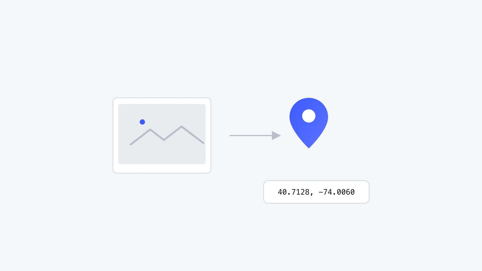
Most photos on your phone already have a location attached, quietly, in the background. But plenty don't: photos from an older camera, images you downloaded, screenshots, or anything that passed through a messaging app on the way to you. Adding location to a photo means writing GPS coordinates into that specific file, and it takes under a minute once you know where to click.
Why add location to a photo that doesn't have it
A photo without location data is just a picture. A photo with it becomes a record: Google Photos and Apple Photos can drop it onto a map, Lightroom can group it with everything else from that trip, and Google can use it to confirm a storefront photo was actually taken at your business address. None of that works unless the GPS fields are present in the file itself.
- Sort and search photos by place instead of scrolling manually.
- Give business or listing photos a verifiable, real location.
- Fix photos that lost their location after going through WhatsApp, Messages, or a screenshot.
- Add a location to scanned prints or camera photos that never had GPS in the first place.
What "adding location" actually means
Every photo file can carry a block of hidden data called EXIF (Exchangeable Image File Format). It already stores things like your camera model and the date the photo was taken. GPS latitude and longitude are just two more fields in that same block. Adding location to a photo means writing those two numbers in, nothing more mysterious than that.
Coordinates come in two common formats: decimal degrees, like 40.7128, -74.0060, or degrees-minutes-seconds, like 40°42'46"N 74°00'21"W. Either one describes the exact same point on Earth.
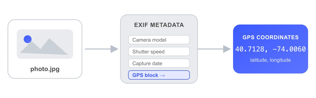
Adding location to a photo means writing GPS latitude and longitude into its EXIF metadata, the same hidden block that stores your camera model and capture date. It can be done any time, not just when the photo was taken.
Step by step: add location to a photo online
The fastest way to do this without installing anything is a browser tool like GeoTag Photos Online. It runs entirely on your device, so the photo is never uploaded anywhere.
- 1Open geotagphotosonline.io and drop your photo into the upload area.
- 2Click the spot on the map where the photo was taken, or search for the address in the search bar.
- 3Add optional keywords, a description, and a copyright line if you want them.
- 4Press Tag All, then Download JPEG (or Download WebP for a smaller, visual-only copy).
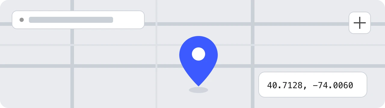

Drop the photo, click the map, and download. GeoTag Photos Online writes GPS coordinates into the file's EXIF data locally in your browser, so no upload step and no signup are needed.
Adding location on iPhone
iPhones can only write location into a photo automatically, at the moment it's taken, if Location Services is turned on for the Camera app. There's no built-in way to add GPS to a photo that already exists without location data. For that, use a browser tool like GeoTag Photos Online directly in Safari. For the full walkthrough, see how to take a geotagged photo on iPhone.
- To enable it going forward: Settings → Privacy & Security → Location Services → Camera, then choose "While Using the App".
- For photos you already have, open geotagphotosonline.io in Safari and follow the same drop, pin, download steps above.

Adding location on Android
Android works the same way. Google Camera writes GPS automatically when location access is granted to the Camera app, under Settings → Apps → Camera → Permissions → Location. For a photo that's missing it, Android has no native editor either, so the browser method works exactly the same as on iPhone.
Adding location on Mac and Windows
Desktop operating systems can display GPS data but neither has a simple built-in way to add it. On a Mac, Preview's Tools → Show Inspector → GPS tab is read-only for viewing. On Windows, right-click → Properties → Details shows the same fields without an edit option. A browser-based tool is the quickest path on either platform, since it works the same in Chrome, Edge, or Safari without installing anything.
Common mistakes to avoid
| Mistake | Why it matters | Fix |
|---|---|---|
| Using approximate coordinates | A location a few streets off looks wrong to anyone who checks it. | Zoom in on the map before placing the pin, or search the exact address. |
| Exporting as PNG | PNG has no standard EXIF block, so GPS data written to it may not survive. | Export as JPEG, which every platform reads reliably. |
| Re-sharing through a messaging app | WhatsApp, Messages, and similar apps strip EXIF, including GPS, before resending. | Send the original file, or re-download it after the location has already been added. |
Frequently asked questions
Can I add location to a photo after it was taken?
Yes. GPS data is just a few fields inside a photo's EXIF metadata, and EXIF can be edited at any time, not only at the moment the photo was taken. Tools like GeoTag Photos Online let you pin a location on a map and write it into the file whenever you want.
Does adding fake location data to a photo cause problems?
It can, depending on where the photo is used. For personal organizing, travel archives, or blog images, it's harmless. For anything used as evidence, like a Google Business Profile photo or a journalistic source image, the location should be accurate, since platforms and readers rely on it being true.
Do all photo formats support location data the same way?
No. JPEG has full native support and is the safest format to end up with. PNG has no standard EXIF block at all, and WebP support is inconsistent across browsers and apps. If you're adding location for it to actually stick, export as JPEG.
Will adding location slow down or shrink my photo?
No. GPS coordinates are a tiny amount of text data, a few dozen bytes, added into a header that already exists in the file. It has no effect on image quality or file size in any noticeable way.
Wrapping up
Adding location to a photo is a two-field edit inside data the file already carries. The quickest, most reliable way to do it for a photo that's missing GPS is a browser tool built for exactly that job.
Try it yourself on GeoTag Photos Online, free and no signup.
Add location to a photo