Guide
How to Geotag Photos You've Already Taken
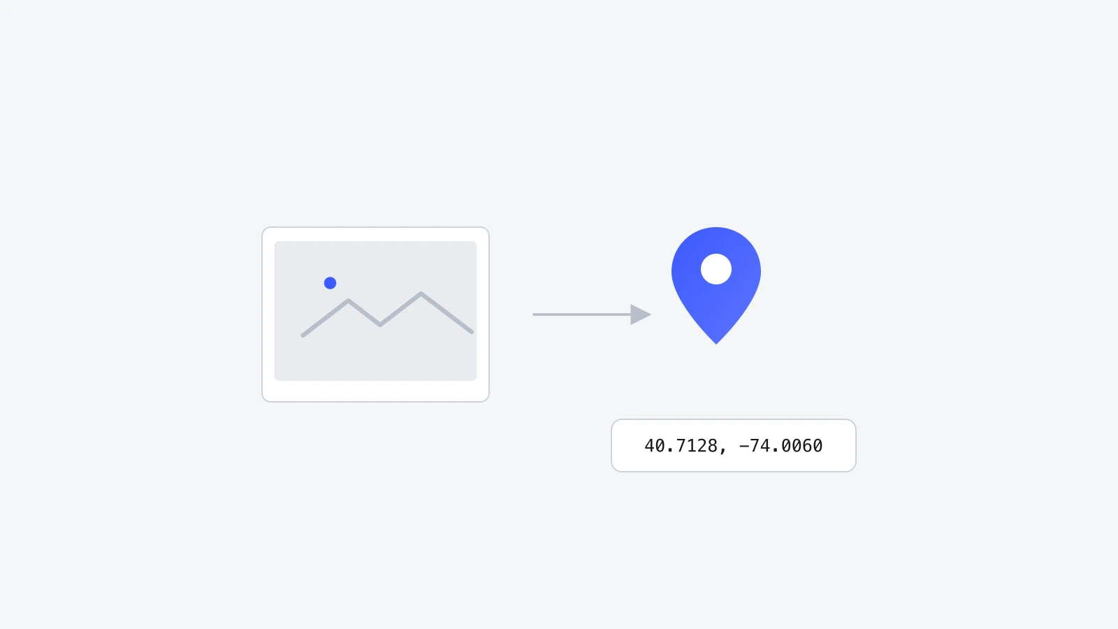
Old photos, downloaded photos, and messaging-app photos usually lose their GPS data. Here's how to add it back in, one photo or a whole folder at a time.

Most of the photos sitting in an old folder, a hard drive backup, or a phone you switched away from years ago never got a location attached. That's normal, and it's fixable. Geotagging is just writing GPS coordinates into a file's metadata, and there's no rule saying it has to happen the moment the shutter clicks.
Why old photos are missing GPS in the first place
A few things commonly strip or skip GPS data:
- No-GPS cameras. Most mirrorless and DSLR bodies have no GPS chip at all, so RAW and JPEG files come out with zero location data.
- Messaging apps. WhatsApp, Messages, Telegram, and similar apps strip EXIF metadata, including GPS, before resending a photo, for privacy reasons.
- Old phones with location off. If Location Services wasn't enabled for the camera at the time, the photo simply never got coordinates.
- Scans and screenshots. A scanned print or a screenshot has no camera GPS to inherit in the first place.

Photos lose or never get GPS data for a handful of common reasons: no GPS hardware in the camera, location services turned off, or a messaging app stripping metadata before resending. None of that is permanent, since the location can be added back in later.
Yes, you can geotag a photo any time after it's taken
GPS coordinates live in the same EXIF block as the camera model and capture date. That block can be opened and edited at any point in a file's life. Writing coordinates into a five-year-old photo works exactly the same way as writing them into one taken five minutes ago.
Step by step: geotag a photo retroactively
- 1Open GeoTag Photos Online and drop in the old photo.
- 2Search for the place on the map, or click the exact spot if you remember it.
- 3Optionally add keywords and a description while you're there, since it's the same one-time edit.
- 4Press Tag All, then download the file as JPEG or WebP.

Geotagging a whole folder from one trip
If an entire folder came from the same city or the same event, there is no need to tag each photo one at a time. Drop the whole batch in at once, place a single marker, switch on Apply to all, then press Tag All. Every photo in the batch gets identical coordinates in one pass, and downloads as a single ZIP.

For a folder of photos from one place, drop them all in together, pin one location, and turn on Apply to all before pressing Tag All. It writes the same GPS coordinates into every photo in a single batch, then downloads as one ZIP.
Reconstructing where you were
If the exact spot has faded from memory, a couple of sources usually fill in the gap:
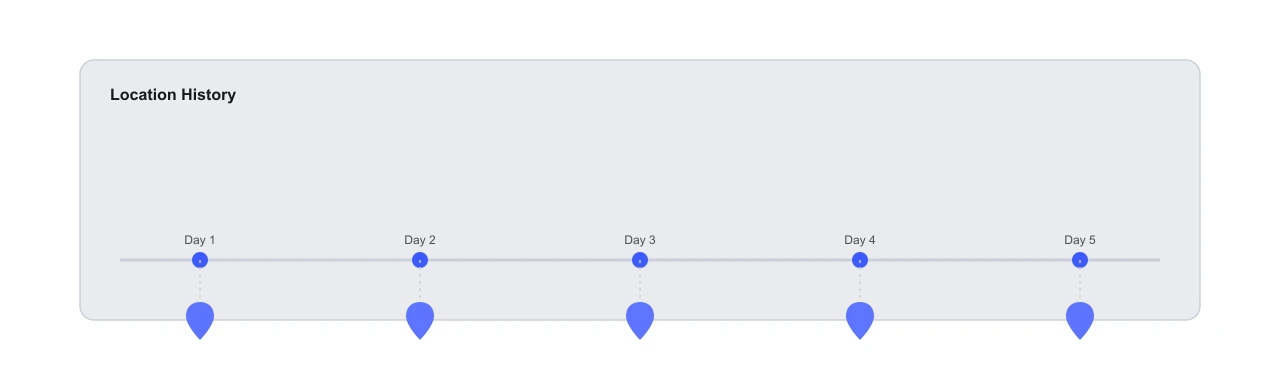
- Google Timeline (found under Google Maps, in your profile's Location history) can show where your phone was on a given date, if location history was turned on at the time.
- The photo's own timestamp, cross-referenced with a trip itinerary, calendar entry, or receipt from that day.
- What's visible in the shot: a street sign, a landmark, or a business name is often enough to search and find the address.
Verifying the geotag afterward
After downloading the tagged file, it's worth a quick check that the coordinates actually landed. Open the photo in your phone's Photos app or, on desktop, in Preview (Mac) or File Explorer's Properties panel (Windows), and look for a map or GPS field. If it shows the right spot, the edit worked. For a full walkthrough of that check, see how to find GPS coordinates from a photo.
Frequently asked questions
Is it too late to geotag a photo from years ago?
No. EXIF metadata can be edited any time after a photo is taken, whether that's five minutes or five years later. The file doesn't know or care when the edit happens.
Will geotagging change the original photo's date or quality?
No. Writing GPS coordinates only touches the GPS fields in the file's EXIF block. The capture date, camera info, and image data itself stay exactly as they were.
How do I remember exactly where an old photo was taken?
Check Google Timeline (now under Google Maps > your profile > Location history) for the date the photo was taken, look at what's visible in the background, or ask whoever was with you. Even an approximate location is better than none for organizing purposes.
Can I geotag a whole folder of old vacation photos at once?
Yes, as long as they were all taken in the same place. Drop the whole batch into GeoTag Photos Online, place one marker, turn on Apply to all, then Tag All. Every photo gets the same coordinates in one pass.
Wrapping up
Nothing about geotagging requires doing it at the moment a photo is taken. Old photos, downloaded photos, and photos that lost their metadata somewhere along the way can all get GPS added back in, one at a time or as a full batch.
Try it yourself on GeoTag Photos Online, free and no signup.
Geotag your old photos