Guide
How to Find GPS Coordinates From a Photo
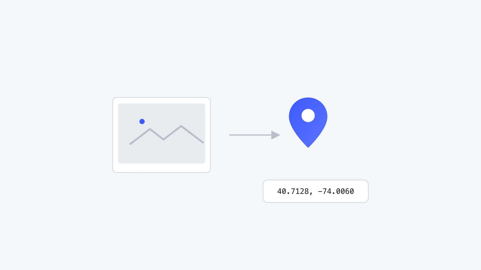
How to read the GPS coordinates already stored in a photo, on iPhone, Android, and desktop, plus what to do if there's no location data at all.

A photo that already has GPS data is carrying it quietly in the background, in a part of the file most viewers never show you. Finding it just means opening the right panel, and it takes a different couple of clicks depending on whether you're on a phone or a computer.
Why you'd need to extract coordinates from a photo
- Confirming where a trip photo was actually taken.
- Verifying a listing or business photo matches its claimed address.
- Fact-checking a source image for journalism or research purposes.
- Copying a location from one photo so a second photo can be tagged with the same coordinates.
Step by step: check GPS coordinates on iPhone
- 1Open the photo in the Photos app.
- 2Swipe up on the image to reveal the details panel.
- 3If GPS data is present, a small map with a pin appears near the bottom, showing the approximate location.
- 4Tap the map to open it fully in Apple Maps.

Step by step: check GPS coordinates on Android
- 1Open the photo in Google Photos.
- 2Tap the info icon (usually an "i" in a circle) or swipe up.
- 3A map preview appears if the photo has location data, along with the place name Google Photos matched it to.
Step by step: check on Mac and Windows
| Platform | Where to look | What you'll see |
|---|---|---|
| Mac (Preview) | Tools → Show Inspector → GPS tab | Latitude, longitude, and altitude if present. |
| Windows | Right-click the file → Properties → Details tab | GPS latitude and longitude fields, further down the list. |
| Either platform | exiftool (free command-line tool) | Every EXIF field at once, including GPS, via exiftool -GPS:all yourphoto.jpg. |
Using GeoTag Photos Online to view and edit in one place
Instead of switching between an inspector panel and a separate editor, a browser tool can do both at once. Drop a photo into GeoTag Photos Online and, if it already has GPS data, the coordinates and the map marker appear immediately, in both decimal degrees and DMS. From there they can be corrected, copied, or left as-is.
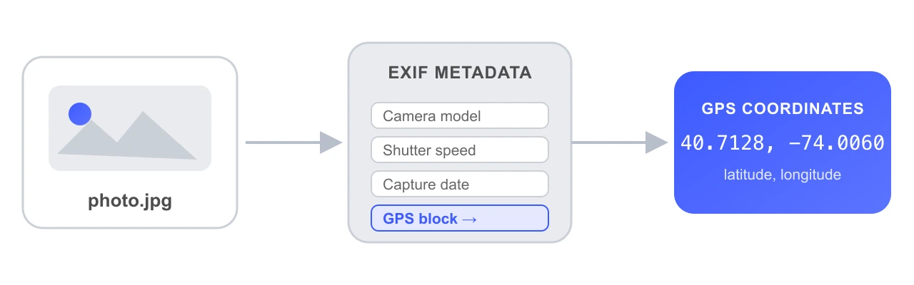
Reading GPS coordinates already inside a photo takes a few taps in the Photos app on iPhone or Android, an inspector panel on desktop, or a single drop into a browser tool like GeoTag Photos Online that shows and edits the coordinates in one place.
What if there's no GPS data at all
Not every photo will have something to find. Screenshots, most camera photos, and anything re-shared through a messaging app typically come up empty. If that's the case, the fix isn't to search harder, it's to add the location yourself using the same tool, covered in how to add location to photos and how to geotag photos you've already taken.

Frequently asked questions
Why can't I find GPS data on a photo I know had location on?
It was likely stripped somewhere along the way. Messaging apps, screenshots, and most social media uploads remove EXIF metadata, including GPS, before you receive or download the file. Check the original file, not a re-shared copy.
Do all photo viewers show GPS coordinates?
No. Basic image viewers often show nothing beyond dimensions and file size. You need one that specifically reads EXIF, like a phone's built-in Photos app, Preview on Mac, File Explorer's Properties on Windows, or a dedicated EXIF viewer.
Is there a way to find coordinates without any software?
On both iPhone and Android, the built-in Photos or Gallery app shows a location map directly on the photo's detail view if GPS data is present, with nothing extra to install.
What format will the coordinates be in?
Usually decimal degrees, like 40.7128, -74.0060, though some tools display degrees-minutes-seconds instead, like 40°42'46"N 74°00'21"W. Both describe the same point; GeoTag Photos Online reads and converts between the two automatically.
Wrapping up
Finding GPS coordinates already in a photo is mostly a matter of knowing where to look. Phones show it in two taps, desktops need an inspector panel, and a browser tool can show and fix it in the same screen if the data turns out to be missing.
Try it yourself on GeoTag Photos Online, free and no signup.
Check a photo's coordinates